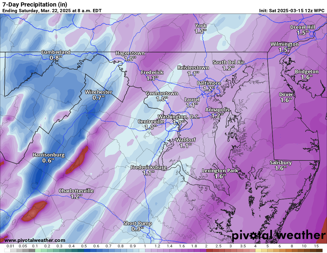
3/15/2025 – There is a severe Risk for Sunday. It will be cooler on Monday, and then it will get milder mid-week. It will be cooler and windy on Thursday and Friday.
The severe threat tomorrow will mainly be winds, but hail and an isolated tornado are possible. Storms could be there in the morning and then again later in the day, and a line of storms will come through.
It will be cooler and breezy on Monday. It will get milder Tuesday through Thursday before windy and cooler Friday into Saturday.
The forecast:
Today: Hi 57 ☁️ Lo 55 🌧️30% – Mostly cloudy and breezy with increasing winds, a chance of showers developing after 5am
Sunday: Hi 68 ⛈️100% Lo 47 ⛈️80% – Showers likely, then thunderstorms in the afternoon with patchy fog, breezy with strong gusts, showers tapering off at night
Monday: Hi 54 🌦️20% Lo 34 🌙 – Partly sunny with a slight chance of showers, becoming mostly clear and cooler at night
Tuesday: Hi 65 ☀️ Lo 42 🌙 – Sunny and mostly clear
Wednesday: Hi 71 🌤️ Lo 48 ☁️ – Mostly sunny, becoming mostly cloudy overnight
Thursday: Hi 62 🌦️50% Lo 35 🌧️30% – Partly sunny with a chance of showers, lingering chance of showers at night
Friday: Hi 50 🌤️💨 Lo 32🌙 – Mostly sunny and breezy
#loudoun #loudouncountyva #vawx #loudounweather #loudounva #virginiaweather
Please support Tree of Life Ministries, an important organization to me! https://www.tolministries.org
Facebook: https://facebook.com/loudounwx
Twitter: https://twitter.com/loudounwx
Instagram: https://www.instagram.com/loudounweather/
On the Web @ https://loudounweather.com