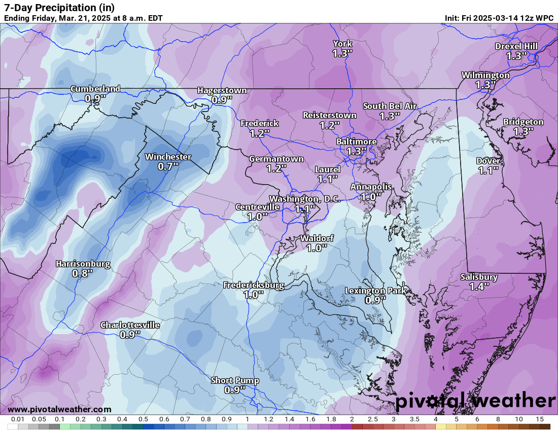
3.14.2025 – Happy Pi day! It will be pretty cool again today with the winds off the ocean, but, if we get sun, mid and upper 50s will be possible. If we get some sun, we will reach he 50s. Tomorrow will be pretty cloudy, with winds slowly increasing. It still looks like we will have an active Sunday with winds and a good chance for windy storms that may contain hail and have a chance for an isolated tornado. That will be watched, and the risk will be refined as we get more details from short-range models. Unfortunately, the Mississippi Valley and the south are in for a severe weather outbreak from this system. I am sure the news is trying to alert these people to be weather aware!
We cool slightly on Monday with breezy winds and then get milder. Another strong front late next week may bring strong storms and then a shot at some colder air for a few days.
The forecast:
Today: Hi 59 🌤️ Lo 43 ☁️ – Patchy fog early, then partly sunny. Temperatures will only reach this high if we get the sun! Increasing clouds tonight with patchy drizzle after 2am.
Saturday: Hi 65 ☁️ Lo 59 🌧️30% – Patchy drizzle and fog early, then mostly cloudy. A chance of showers late at night. Breezy.
Sunday: Hi 70 ⛈️90% Lo 46 ⛈️80% – Showers likely, then showers and a possible thunderstorm in the afternoon. Rain and storms continue into the night. Windy.
Monday: Hi 56 ☀️ Lo 38 🌙 – Mostly sunny and mostly clear.
Tuesday: Hi 68 ☀️ Lo 45 🌙 – Sunny and mostly clear.
Wednesday: Hi 74 🌤️ Lo 51 ☁️ – Mostly sunny, becoming mostly cloudy overnight.
Thursday: Hi 68 🌦️50% Lo 45 🌧️ – Partly sunny with a chance of showers.
#loudoun #loudouncountyva #vawx #loudounweather #loudounva #virginiaweather
Please support Tree of Life Ministries, an important organization to me! https://www.tolministries.org
Facebook: https://facebook.com/loudounwx
Twitter: https://twitter.com/loudounwx
Instagram: https://www.instagram.com/loudounweather/
On the Web @ https://loudounweather.com