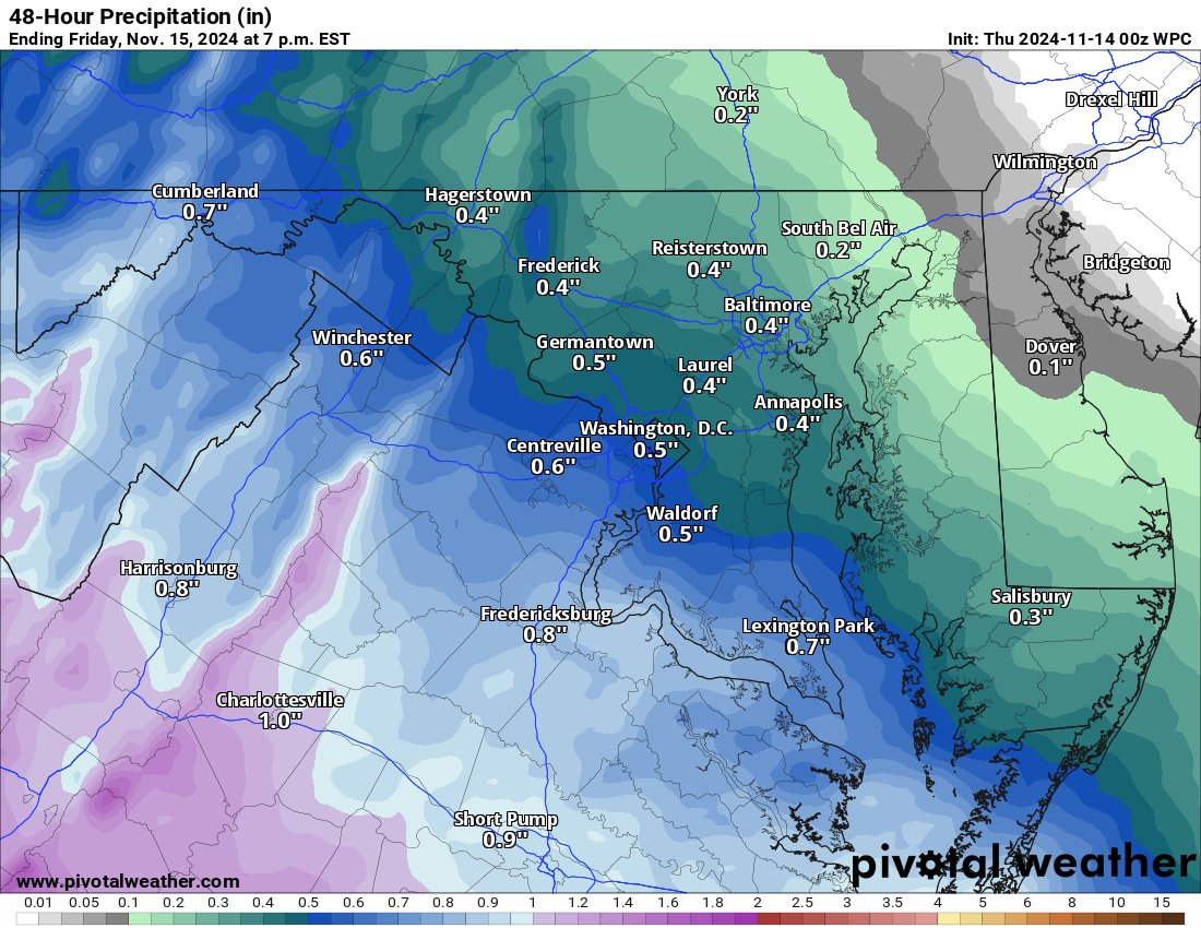
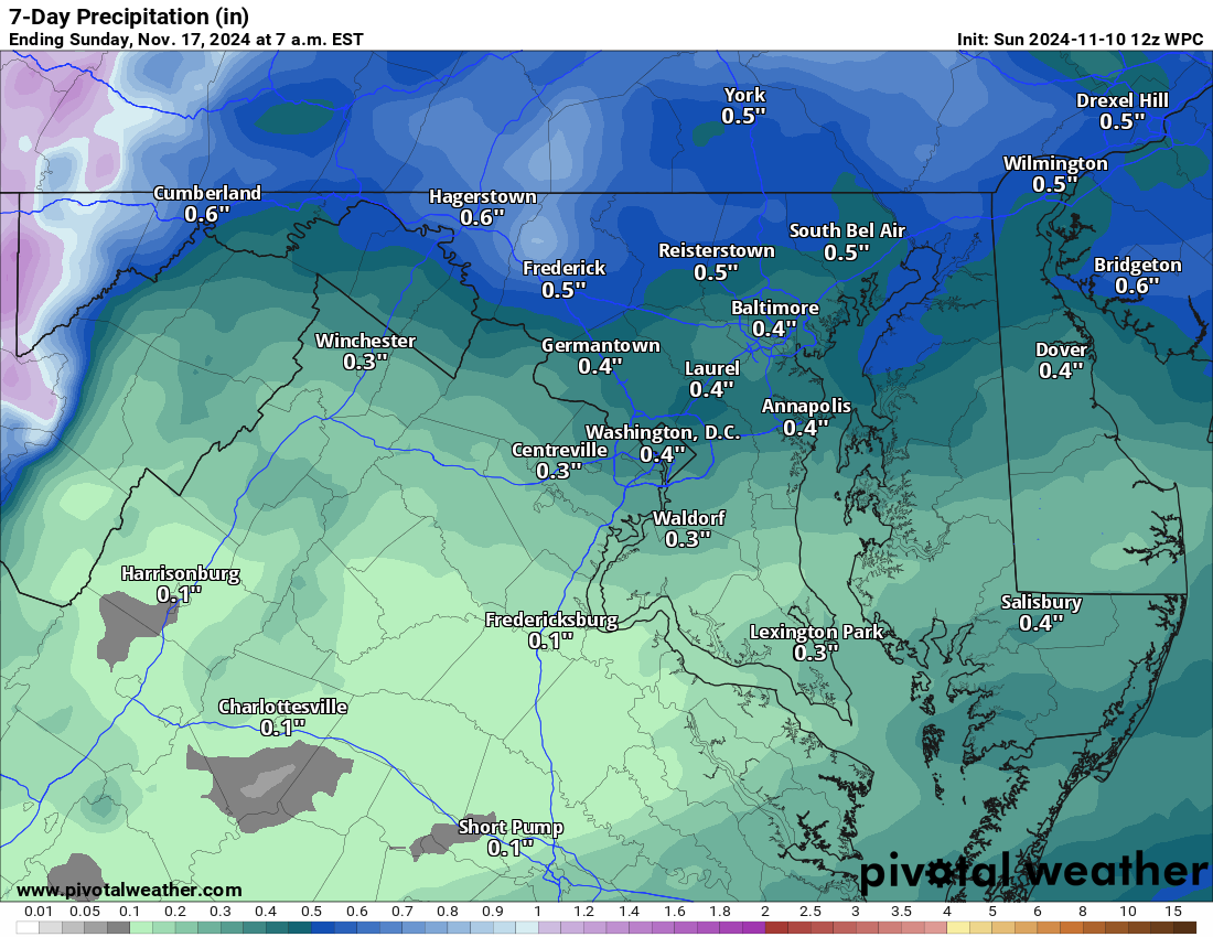
11/14/2024 – RAIN IS ON THE WAY! And we need it! This is looking like a moderate event with maybe a half-inch of rain or more. It will be a cool day—a Chili or soup and good book-by-the-fire kind of day! 🙂 Highs will be in the upper 40s. I WOULD NOT BE SURPRISED if a sleet pellet or 2 is not reported in some colder spots at the start, but that may be just me being a bit wishful.
We will be back in the mid-50s tomorrow and near 60 on Saturday. Saturday will be quite breezy. Temps will be in the 60s until midweek before the pattern-changing front comes through and knocks us into a below-normal week for Thanksgiving time!
Thanksgiving week may bring some interesting weather possibilities due to the type of pattern we are in…. That is all I would say… but it will be something to watch! I discuss it in a longer video here –>https://youtu.be/bT6sG5T4Okk
The cool pattern should last until the end of the month, but I see us returning to normal and then above as we enter December!
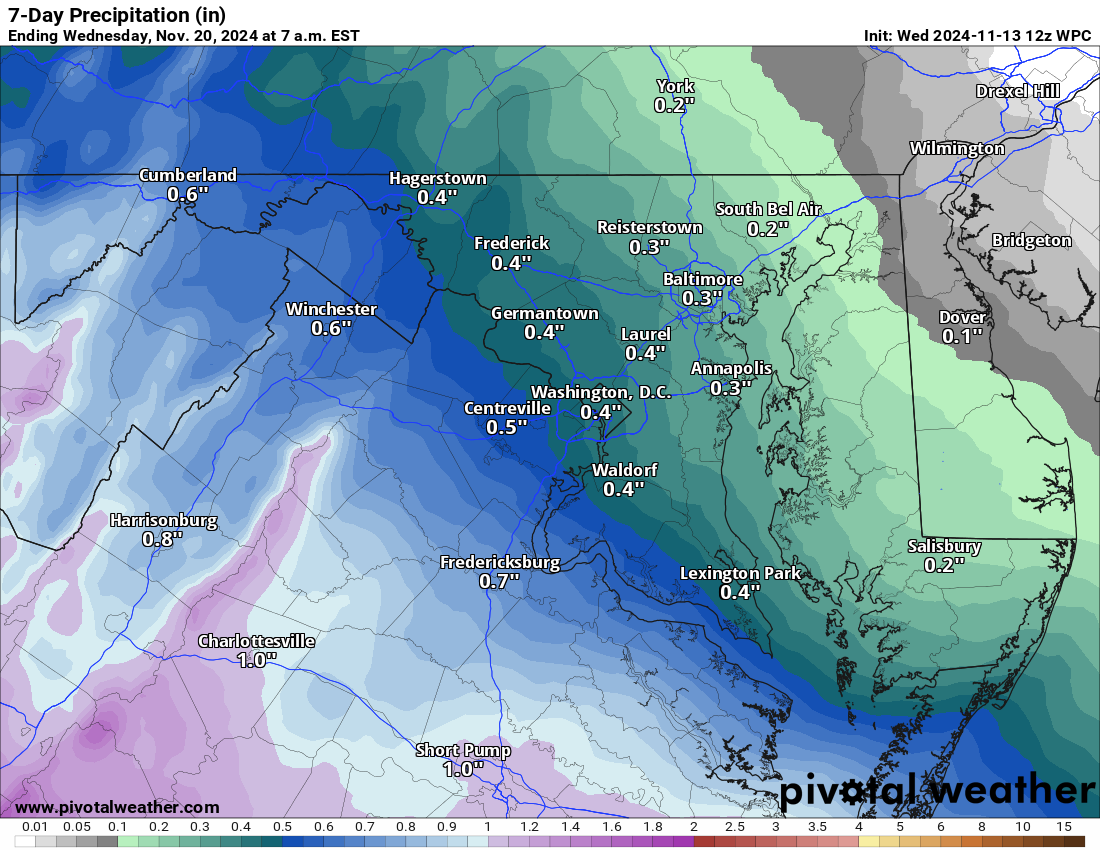
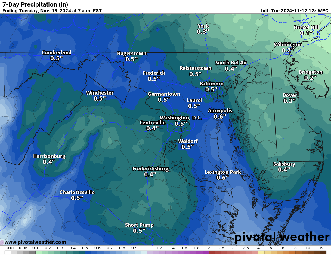
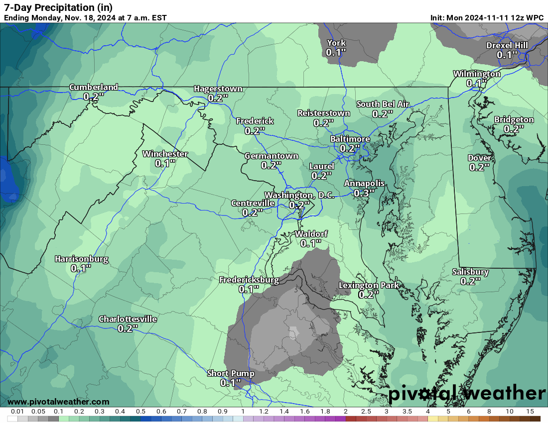
Note: Attached precip is just the next 48 hours! more rain will come next week!
The forecast:
Today: Hi 47 🌧️90% Lo 42 🌧️90% – Rain developing in the afternoon with patchy fog later
Friday: Hi 55 🌦️30% Lo 43 🌙 – Early chance of rain and patchy fog, then clearing and becoming partly sunny by afternoon
Saturday: Hi 60 ☀️ Lo 37 🌙 – Sunny with breezy conditions and mostly clear skies
Sunday: Hi 62 🌤️ Lo 43 ☁️ – Mostly sunny through the day, becoming mostly cloudy overnight
Monday: Hi 65 🌤️ Lo 41 🌙 – Mostly sunny
Tuesday: Hi 62 🌤️ Lo 47 🌧️30% – Mostly sunny, with increasing clouds at night and a chance of showers late
Wednesday: Hi 61 🌦️30% Lo 47 🌙 – Partly sunny with a chance of showers throughout the day
#loudoun #loudouncountyva #vawx #loudounweather #loudounva #virginiaweather
Please support Tree of Life Ministries, an important organization to me! https://www.tolministries.org
If you want a 2025 Calendar, go to https://calendar.lowx.us
Facebook: https://facebook.com/loudounwx
Twitter: https://twitter.com/loudounwx
Instagram: https://www.instagram.com/loudounweather/
On the Web @ https://loudounweather.com

