3/13/2025 – It is a colder day than I had hoped for! The Severe Threat Sunday Increasing!
That backdoor cold front and easterly fetch off the ocean that the models were hinting at the last 2 days came true so it will keep us cool today and tomorrow!
The Southeast (Alabama, Mississippi, Georgia, Tennessee) faces a serious threat of severe weather on Saturday and Sunday. This does not mean we will see severe storms, but we have a better chance than usual on Sunday. Strong winds will be the biggest risk, but isolated tornadoes will also be possible. Details will need to be fine-tuned over the next two days.
We will cool slightly and then turn milder next week. Later next week, we could see more strong storms and rain before we have a quick cold shot.
Additionally, far eastern Loudoun is now in a Severe Drought!
The forecast:
Today: Hi 50 ☁️ Lo 39 ☁️ – Mostly cloudy with light east winds
Friday: Hi 59 ⛅ Lo 44 ☁️ – Cloudy becoming mostly sunny, then mostly cloudy with a slight chance of drizzle late
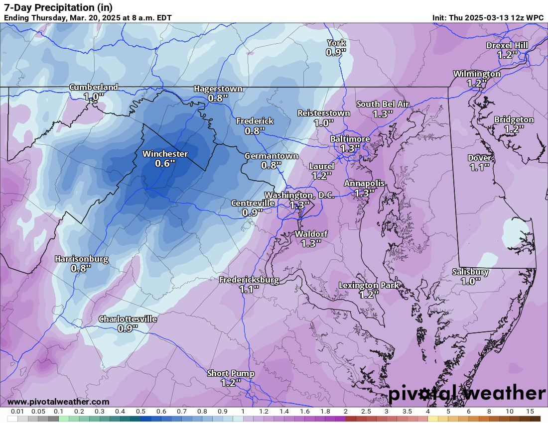
Saturday: Hi 68 🌧️20% Lo 60 🌧️60% – Mostly cloudy with a slight chance of drizzle or showers, then showers likely overnight and breezy
Sunday: Hi 72 🌧️⛈️100% Lo 45 🌧️ 50% – Showers and thunderstorms possible (watching for severe)!
Monday: Hi 56 ☀️ Lo 38 🌙 – Mostly sunny and mostly clear
Tuesday: Hi 68 ☀️ Lo 48 🌙 – Sunny and partly cloudy
Wednesday: Hi 74 🌤️ Lo 51 – Mostly sunny
#loudoun #loudouncountyva #vawx #loudounweather #loudounva #virginiaweather
Please support Tree of Life Ministries, an important organization to me! https://www.tolministries.org
Facebook: https://facebook.com/loudounwx
Twitter: https://twitter.com/loudounwx
Instagram: https://www.instagram.com/loudounweather/
On the Web @ https://loudounweather.com