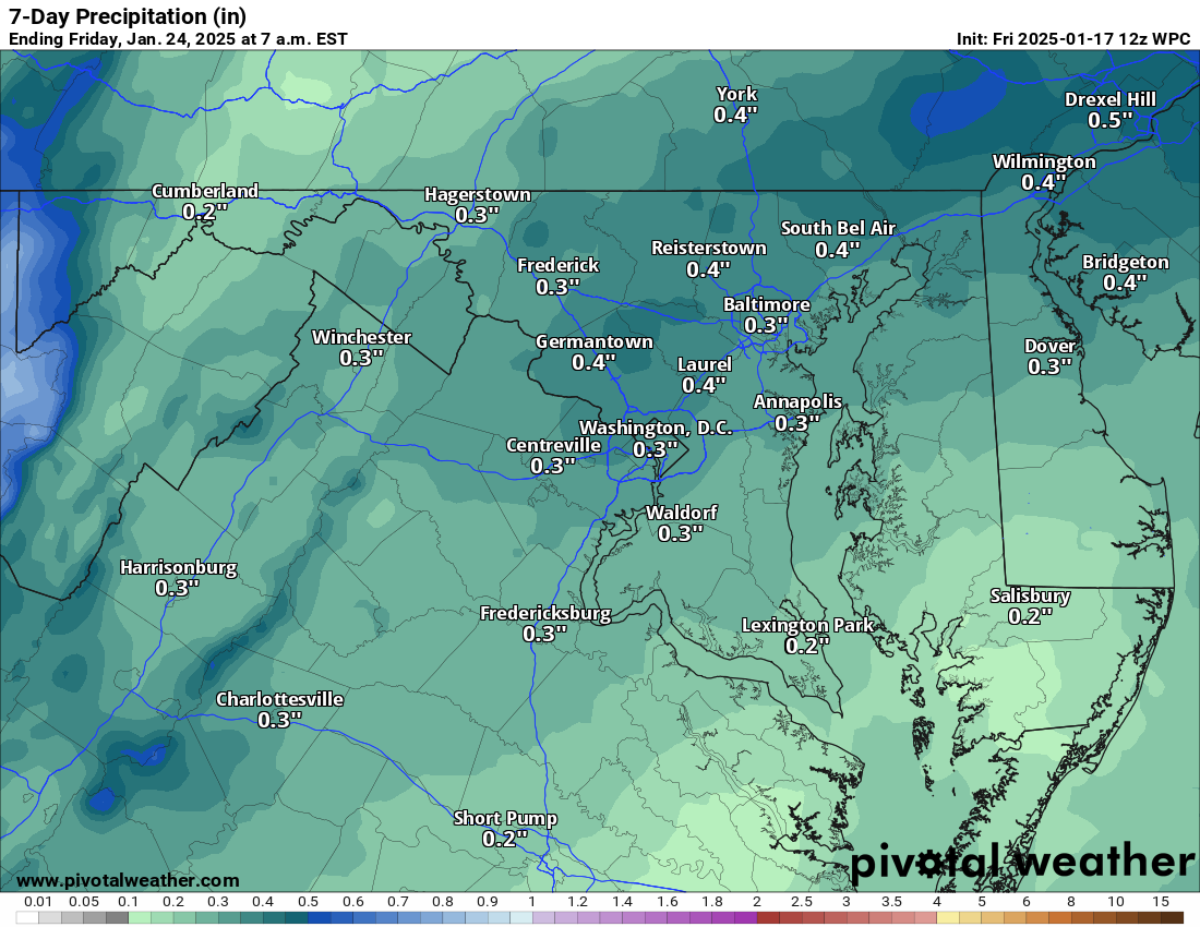
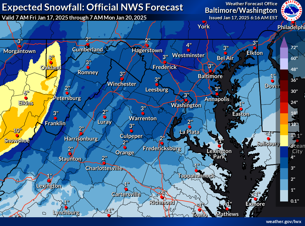
1/17/2025 – SNOW IS ON THE WAY! As of now, Sunday could be 2 to 4 with a top end of 6 inches. THIS MAY INCREASE! Then BITTER COLD!
I reviewed the models on YouTube. Snow will start in the morning now and last most of the day!
Multi-day updates are coming through the weekend!
Attached is the US National Weather Service Baltimore/Washington current snow thoughts for Sunday. These could increase!
Bitter cold follows Monday through Wednesday. We could see more snow mid- and late next week! Models still need to work out many details.
The forecast:
Today: Hi 40 ☁️ Lo 28 ☁️ – Cloudy through mid-morning, clearing gradually. Increasing clouds tonight
Saturday: Hi 45 🌧️40% Lo 29 🌨️30% – A chance of rain and snow in the morning, mostly cloudy, with rain or snow possible late at night.
Sunday: Hi 30 🌨️60% Lo 14 🌙 – Snow likely under cloudy skies, with a slight chance of lingering snow before clearing overnight.
M.L.King Day: Hi 18 ☀️ Lo 4 🌙 – Cold and windy! Frigid at night!
Tuesday: Hi 19 🌥️ Lo 2 ☁️ – Cold and windy! Frigid at night!
Wednesday: Hi 17 ☀️ Lo 5 🌙 – Mostly sunny and cold – WATCHING FOR SNOW CHANCES!
Thursday: Hi 29 ☀️ – Mostly sunny and not as cold.
#loudoun #loudouncountyva #vawx #loudounweather #loudounva #virginiaweather
Please support Tree of Life Ministries, an important organization to me! https://www.tolministries.org
Facebook: https://facebook.com/loudounwx
Twitter: https://twitter.com/loudounwx
Instagram: https://www.instagram.com/loudounweather/
On the Web @ https://loudounweather.com


