1/7/2025 – Cold, Blustery day and more snow in the forecast:
We will see a windy and cold day. Cold will be the story throughout the week, as this is the coldest stretch of winter.
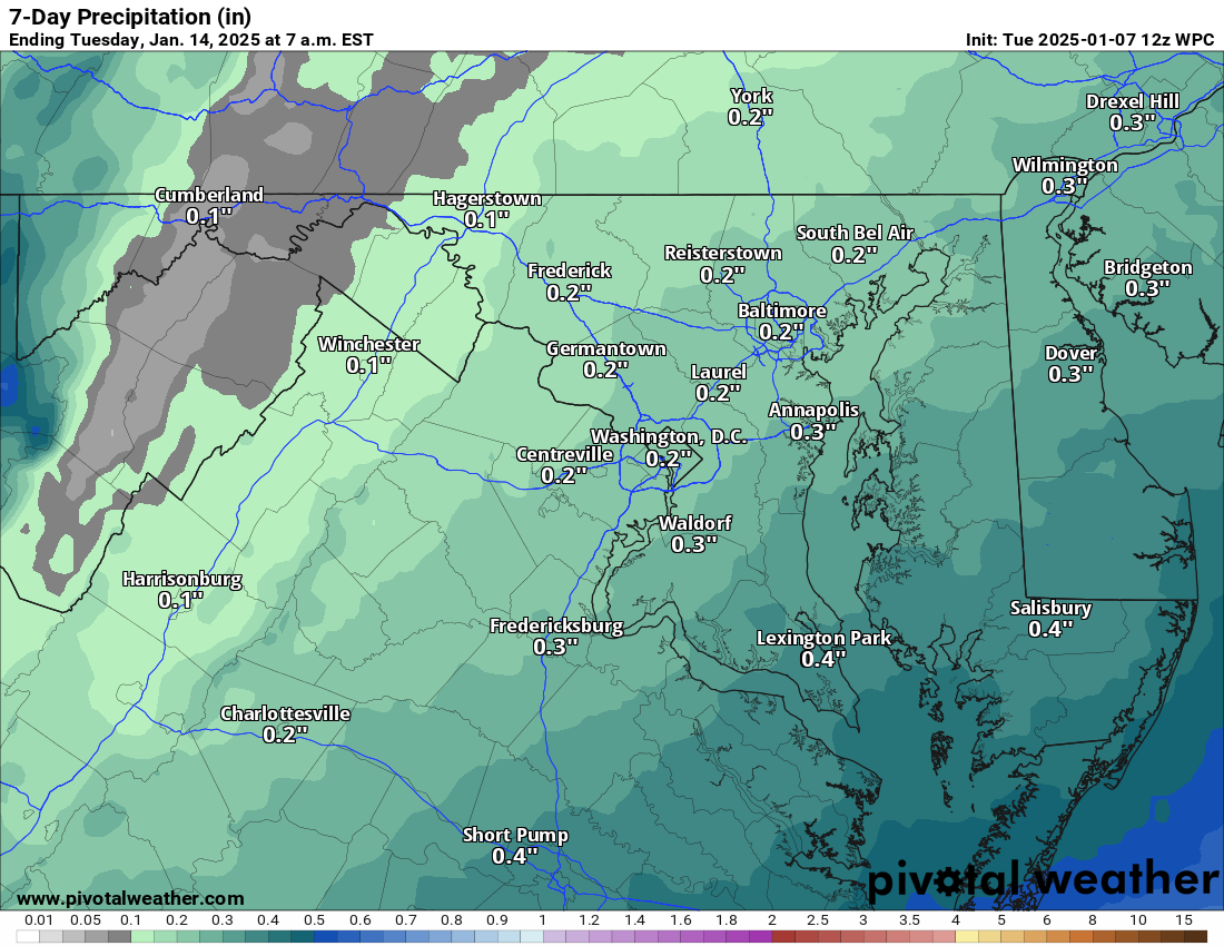
The next story is that snow is now likely on Friday night. Early indications are a light event (1 to 3 inches), and details on the exact amounts are still TBD. I did a 5-minute outlook on YouTube if interested, but I use many words to say the same thing with some model reading as well. https://youtu.be/hvHqlVDLIkk
Cold will dominate the extended but not as cold as the next several days as we head into next week.
The forecast:
Today: Hi 31 🌤️ Lo 18 🌙 – Sunny and blustery with strong northwest winds and gusts up to 40 mph, becoming partly cloudy with diminishing winds at night.
Wednesday: Hi 28 🌤️ Lo 13 🌙 – Mostly sunny with brisk northwest winds and gusts up to 29 mph, partly cloudy overnight with wind chills as low as -3°F.
Thursday: Hi 26 ☀️ Lo 15 🌙 – Sunny and blustery with strong northwest winds and gusts up to 34 mph, becoming mostly clear and breezy at night.
Friday: Hi 31 🌤️ Lo 23 🌨️60% – Mostly sunny, becoming cloudy at night with snow likely after midnight.
Saturday: Hi 33 🌨️40% Lo 23 🌙 – A chance of snow in the morning, then mostly cloudy, becoming partly cloudy at night.
Sunday: Hi 34 🌤️ Lo 19 🌙 – Mostly sunny during the day, with partly cloudy skies overnight.
Monday: Hi 35 🌤️ Lo 21 – Mostly sunny.
#loudoun #loudouncountyva #vawx #loudounweather #loudounva #virginiaweather
Please support Tree of Life Ministries, an important organization to me! https://www.tolministries.org
Facebook: https://facebook.com/loudounwx
Twitter: https://twitter.com/loudounwx
Instagram: https://www.instagram.com/loudounweather/
On the Web @ https://loudounweather.com