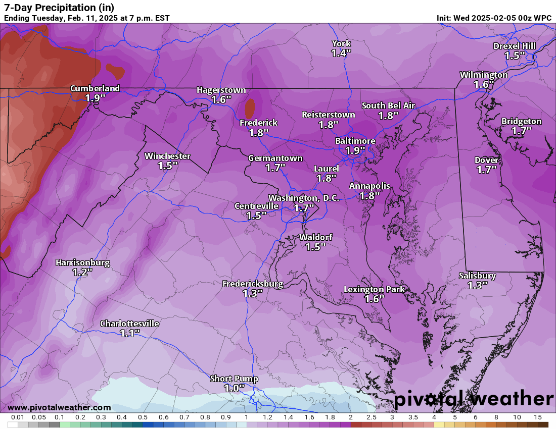
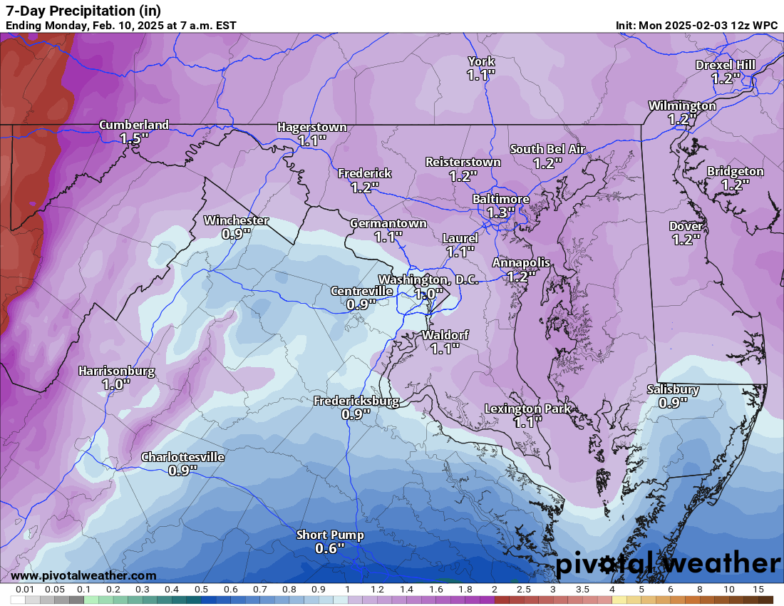
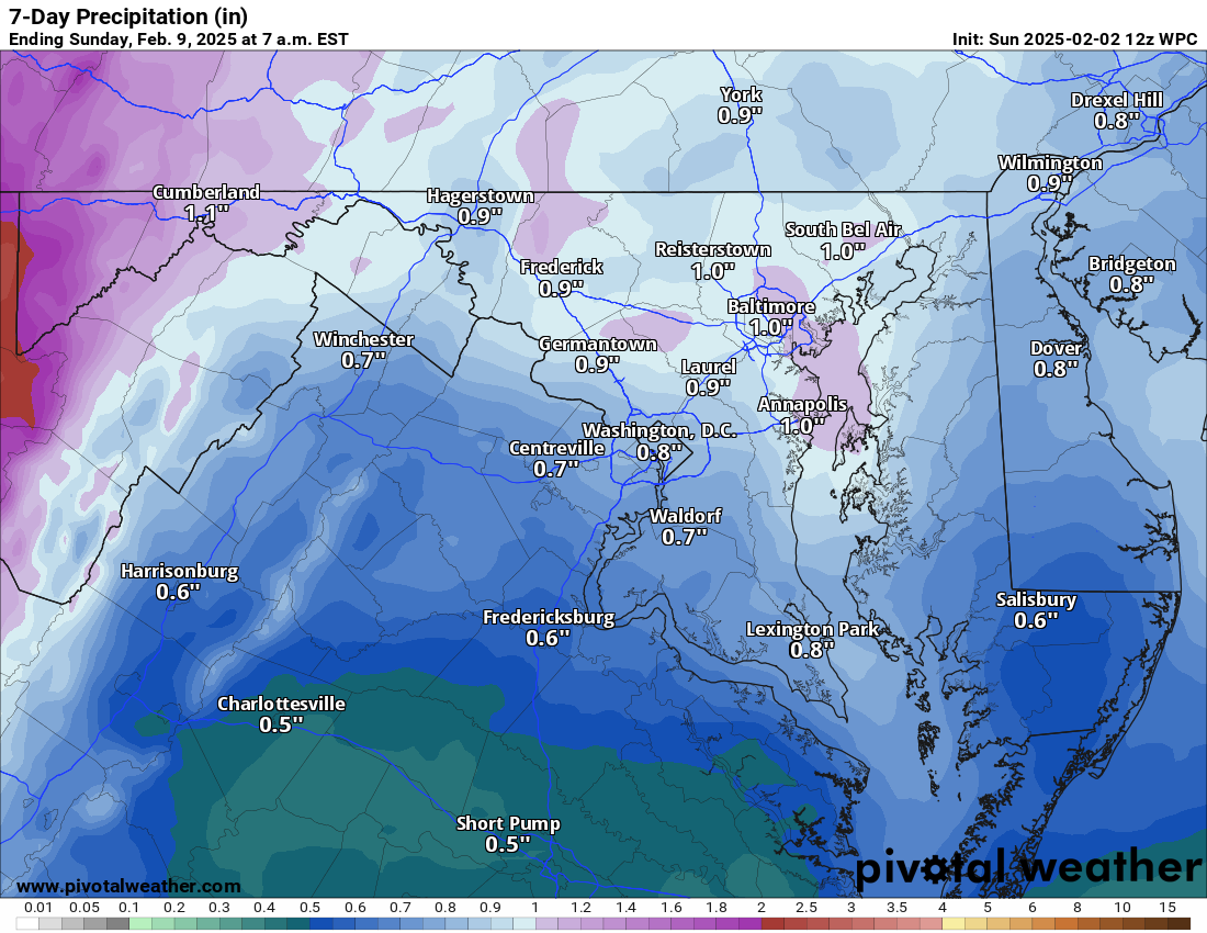
2/4/2025—Here's a quick update: First, we will get some mixing stuff tomorrow night into Thursday. Then, more snow and mix could fall Friday night into Saturday.
SPECULATION – We may line up for a significant snowstorm next week! This could hit Tuesday! This is slowly becoming more possible based on models! We will see!
The forecast:
Today: Hi 57 🌤️ Lo 29 🌙 – Partly sunny, becoming clear in the afternoon, with increasing clouds at night.
Wednesday: Hi 36 🌨️30% Lo 31 🌨️100% – Cloudy with a 30% chance of snow and sleet in the afternoon; Expect freezing rain and sleet overnight
Thursday: Hi 49 🌧️90% Lo 38 🌧️30% – Rain and maybe some freezing rain early.
Friday: Hi 49 ☀️ Lo 28 🌙 – Sunny during the day, with mostly clear skies at night.
Saturday: Hi 38 🌨️80% Lo 34 🌧️70% – Rain and snow likely becoming all rain late
Sunday: Hi 50 🌤️ Lo 27 🌙 – Partly sunny during the day, with partly cloudy skies at night.
Monday: Hi 41 🌤️ Lo 25 🌙 – Mostly sunny during the day, becoming mostly cloudy at night.
Tuesday: Hi 37 🌨️50% Lo 26 🌨️ – Snow possible! (may be significant)
#loudoun #loudouncountyva #vawx #loudounweather #loudounva #virginiaweather
Please support Tree of Life Ministries, an important organization to me! https://www.tolministries.org
Facebook: https://facebook.com/loudounwx
Twitter: https://twitter.com/loudounwx
Instagram: https://www.instagram.com/loudounweather/
On the Web @ https://loudounweather.com