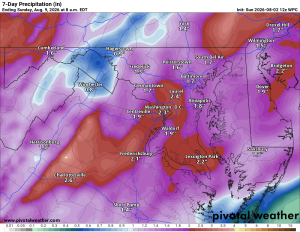
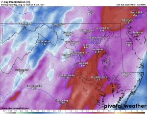
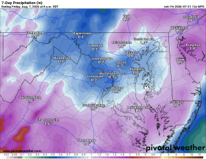
🌧️ A Split County Today
Rain has been moving through today, but it's a tale of two Loudouns. Eastern parts of the county have seen quite a bit more rain than we have out west. Still, showers have popped up countywide, with a few rumbles of thunder mixed in.
⛈️ Monday Brings More Storm Chances
Expect a break Monday morning before showers and thunderstorms return in the afternoon and evening. Chances sit around 40%, so not everyone will see it, but keep an eye to the sky.
☁️ Typical Summer Daily Chances of Afternoon Showers and Storms
Tuesday looks mostly cloudy with maybe a stray shower Tuesday night into Wednesday. From there we settle into a textbook summer pattern, with daily chances of showers and storms Wednesday through Sunday.
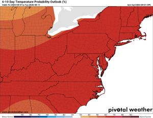
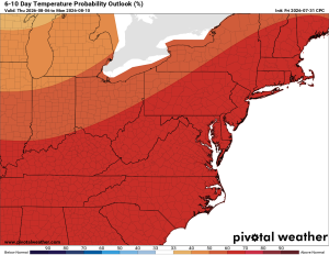
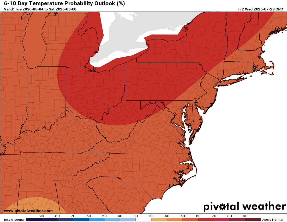
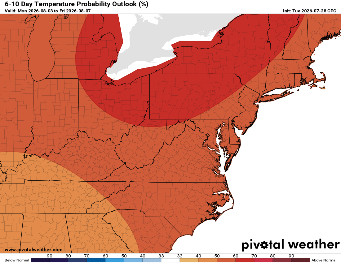
Our best rain chances come today into tonight, with another possible uptick on Friday, though we'll keep watching that one. Longer range, temperatures and rainfall both look close to normal.
The forecast:
Today: Hi 83 🌧️70% Lo 70 🌧️70% – Showers likely with possible thunderstorms, some could bring heavy rain.
Monday: Hi 85 🌦️50% Lo 67 🌧️30% – Chance of afternoon showers and storms, with a lower chance continuing into the evening.
Tuesday: Hi 84 🌦️40% Lo 68 🌧️30% – Chance of afternoon showers and storms, lingering into the evening.
Wednesday: Hi 86 🌦️40% Lo 70 🌧️30% – Chance of afternoon showers and storms, lingering into the evening.
Thursday: Hi 88 🌤️ Lo 70 🌧️30% – Mostly sunny with a chance of afternoon showers and storms later in the day.
Friday: Hi 88 🌦️50% Lo 70 🌧️30% – Chance of showers and storms through the day and evening.
Saturday: Hi 88 🌦️40% Lo 69 – Chance of showers and storms.
#loudoun #loudouncountyva #vawx #loudounweather #loudounva #virginiaweather
Please support Tree of Life Ministries, an important organization to me! https://www.tolministries.org
Facebook: https://facebook.com/loudounwx
Twitter: https://twitter.com/loudounwx
Instagram: https://www.instagram.com/loudounweather/
On the Web @ https://loudounweather.com