8/29/2025
🌤️ Cool and Pleasant Friday
We stay dry and seasonably cool today with highs in the mid to upper 70s. Tonight will feel more like early fall, with lows dipping to around 50°F and even some upper 40s possible in the cooler spots.
🌤️ Beautiful Weekend Ahead
Expect continued sunshine through the weekend with daytime highs holding steady in the mid to upper 70s, maybe brushing 80°F by early next week. Overnight lows stay comfortably in the 50s.
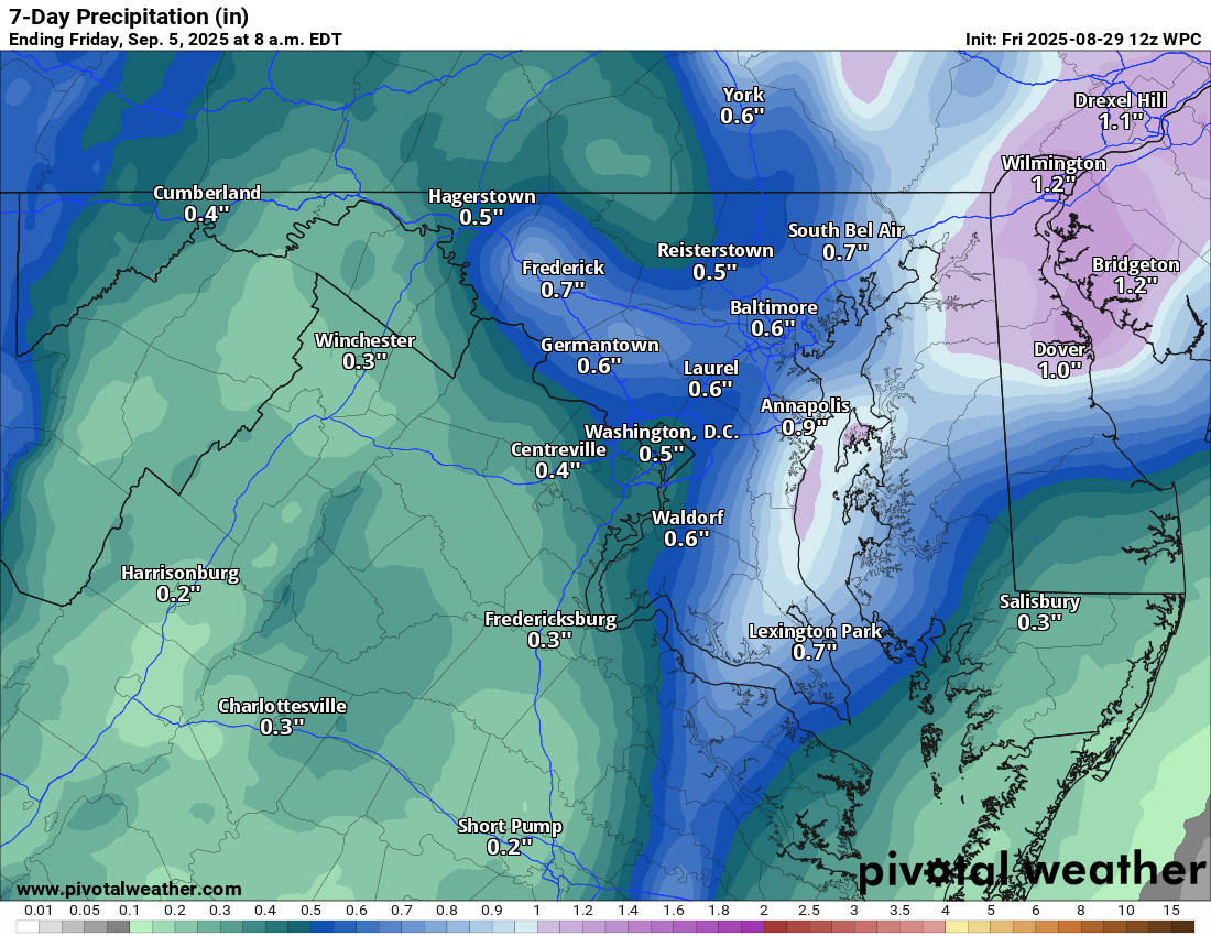
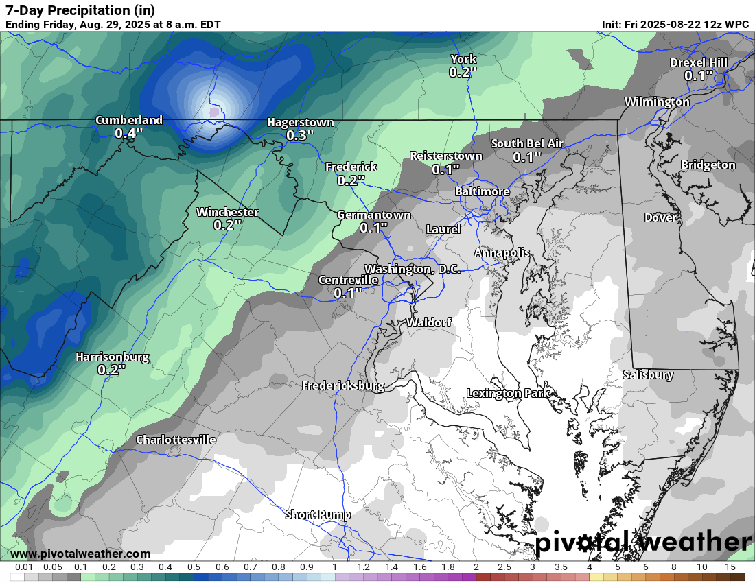
🌧️ Rain Chances Finally Return by Thursday
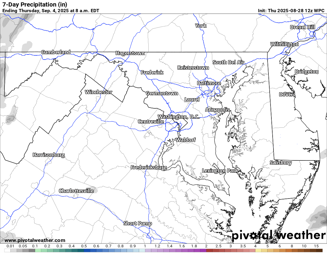
Dry conditions hold through Wednesday, but by Thursday, rain chances creep back in. The Weather Prediction Center is highlighting the potential for up to a half-inch of rain. Still some uncertainty.
Enjoy this fantastic stretch of weather and have a fabulous weekend!
The forecast:
Today: Hi 77 🌤️ Lo 50 🌙 – Mostly sunny, becoming partly cloudy overnight
Saturday: Hi 76 ☀️ Lo 51 🌙 – Sunny with mostly clear skies at night
Sunday: Hi 77 🌤️ Lo 54 🌙 – Mostly sunny, becoming partly cloudy overnight
Labor Day: Hi 78 🌤️ Lo 55 🌙 – Mostly sunny, becoming partly cloudy overnight
Tuesday: Hi 77 🌤️ Lo 56 🌙 – Mostly sunny, becoming partly cloudy overnight
Wednesday: Hi 78 🌤️ Lo 60 🌙 – Mostly sunny, becoming partly cloudy overnight
Thursday: Hi 78 🌦️30% Lo 58 🌧️30% – Partly sunny with a slight chance of showers, continuing into the night
#loudoun #loudouncountyva #vawx #loudounweather #loudounva #virginiaweather
Please support Tree of Life Ministries, an important organization to me! https://www.tolministries.org
Facebook: https://facebook.com/loudounwx
Twitter: https://twitter.com/loudounwx
Instagram: https://www.instagram.com/loudounweather/
On the Web @ https://loudounweather.com
Please support Tree of Life Ministries, an important organization to me! https://www.tolministries.org
Facebook: https://facebook.com/loudounwx
Twitter: https://twitter.com/loudounwx
Instagram: https://www.instagram.com/loudounweather/
On the Web @ https://loudounweather.com