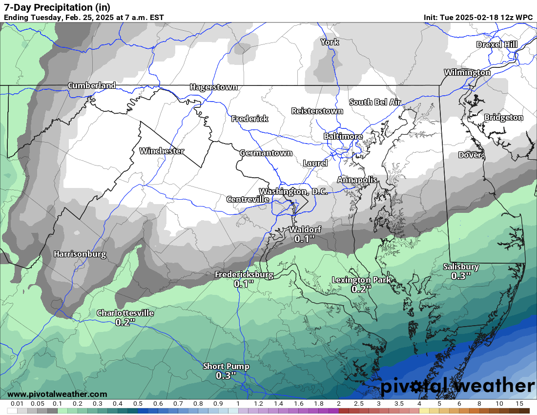
2/18/2025 – What a close call for a big storm. The following 2 days will show us what could have been. Southeastern Virginia will see close to a foot of snow. The upper-level energy that was, at one point, forecast to merge with the southern storm will come through Thursday and could coat the ground with some snow. How much? Maybe enough to whiten the ground. It will be cold!
This weekend, temperatures will recover, and it looks like a decent late winter weekend with highs in the 40s. Watching systems next week for some rain and snow chances, but nothing is organized until later on the models, which is too far off to be accurate.
The forecast:
Today: Hi 31 🌤️ Lo 16 ☁️ – Partly sunny and breezy, becoming mostly cloudy overnight with increasing clouds
Wednesday: Hi 29 🌨️ 20% Lo 20 🌨️ 30% – Cloudy with a slight chance of snow in the afternoon, increasing chances overnight
Thursday: Hi 31 🌨️40% Lo 20 🌙 – A chance of snow showers, mainly in the morning, then turning partly cloudy and blustery overnight
Friday: Hi 37 ☀️ Lo 19 🌙 – Sunny and breezy, becoming mostly clear at night
Saturday: Hi 42 🌤️ Lo 26 🌙 – Mostly sunny, then partly cloudy overnight
Sunday: Hi 48 🌤️ Lo 30 ☁️ – Mostly sunny during the day, becoming mostly cloudy at night
Monday: Hi 49 ⛅ Lo 30 🌙- Partly sunny throughout the day