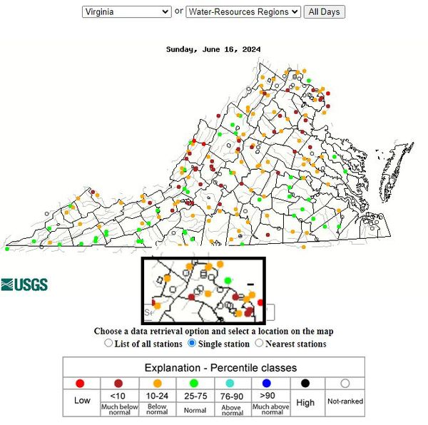
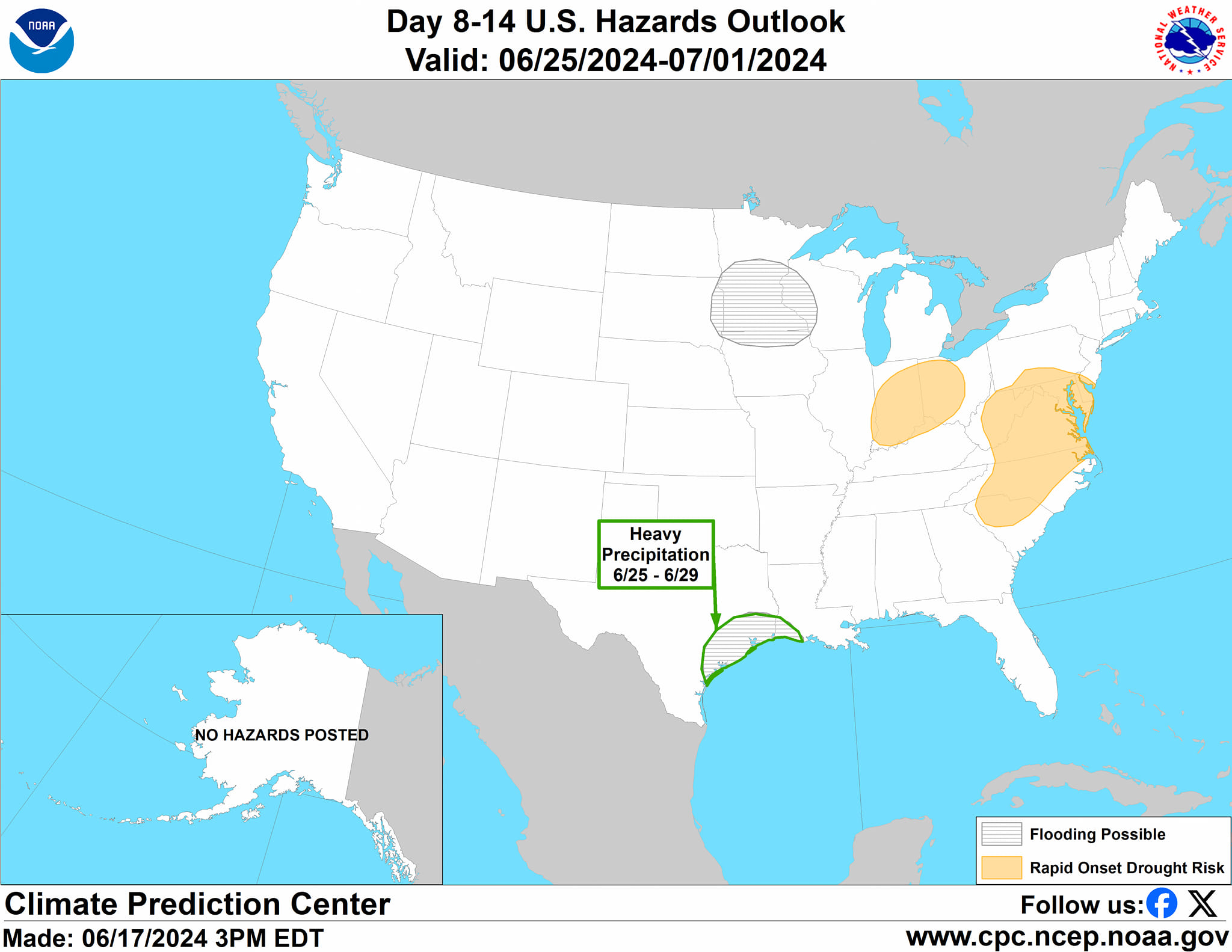
Another Hot One! The temps will be about like yesterday. It is possible that we could head into drought conditions soon based on the current stream levels (attached are the current stream levels), recent dryness, and the sparse precipitation chances with this intense heat. The ridge of high pressure causing the heat is almost on top of us! That is drying the atmosphere enough to reduce the chances of rain. It can still storm in these hot conditions, but that is not really possible until Saturday!
We could see ridge disruptions with enough instability Saturday through Monday for some storms. I am still watching models to see if severe weather will occur during that time, but this is still far enough in the future to wait for better data to know the risk.
The hot forecast:
Tuesday: Hi 92 Lo 68 ☀️🌙 – Mostly sunny, becoming mostly clear
Wednesday: Hi 89 Lo 68 ☀️🌙 – Sunny and mostly clear
Thursday: Hi 91 Lo 71 ☀️🌙 – Sunny and mostly clear
Friday: Hi 95 Lo 71 🌤️🌙 – 🥵 Mostly sunny, becoming partly cloudy
Saturday: Hi 96 Lo 72 ⛈️🌙 30% – 🥵 Sunny with a chance of afternoon showers and thunderstorms
Sunday: Hi 95 Lo 73 ⛈️🌙 30% – 🥵 Mostly sunny with a chance of showers and thunderstorms
Monday: Hi 91 Lo 69 ⛈️🌙 40% – Mostly sunny with a chance of showers and thunderstorms


