VERY TOUGH FORECAST AHEAD!
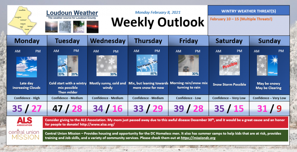
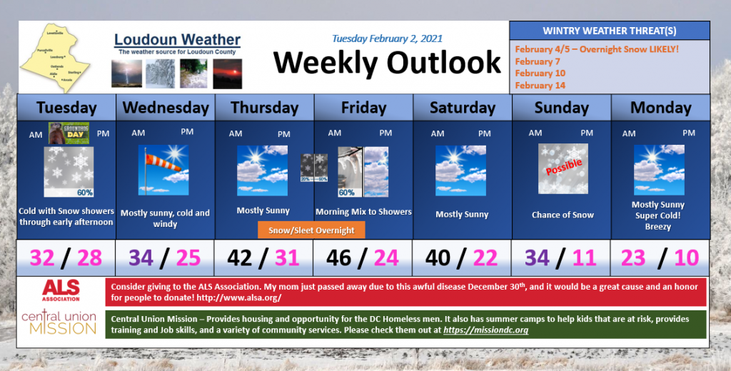
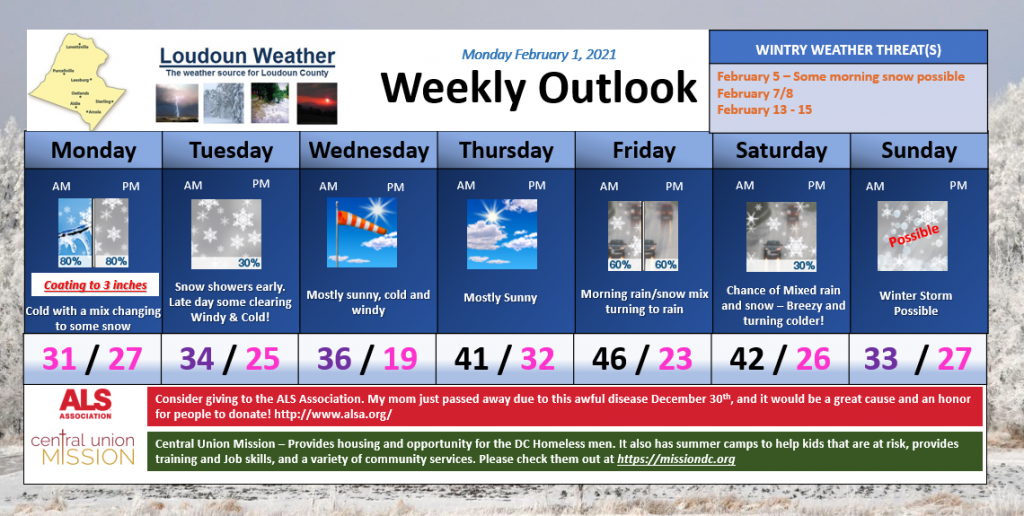
First – A Wintry Period will persist for the next two weeks. This could include multiple winter weather threats as well as some super cold temperatures at times.CONCERNS: Thursday and Thursday night keep fluctuating between a more snowy look and a sleety look. If it turns to icy, we could see enough for a sizable ice storm. It is possible the ice is sleet and not freezing rain which would be better! But someone in Northern and Central Virginia could see a significant ice storm. Please keep posted. BUT, it would be a good idea to prepare for potential power losses.
What in the world is causing this?
- A light southerly wind is overriding some Arctic air that has worked into the area
- The initial amount of cold air above us is cold enough that snow is more likely than other precipitation.
- Southerly winds will bring in warmer air, and that will start to erode the colder air above us.. but the surface cold is dense and being reinforced from the north. So we get the Cold Air Damming set up, which is pretty strong Wednesday Night through Friday. I show a chance of some showers Friday here, but, honestly cold air like this is almost impossible to forecast right and the models always break it down too fast – so do not expect that to be likely.
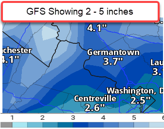
- On Saturday, a coastal system will be forming along this front that is hanging out in the area all week and causing the wintry weather. This could lead to a significant snowstorm Saturday into Sunday.
Where does that cold front separating colder from just marginal cold set up?
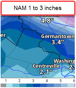
It is super difficult to figure it out, but I would say the confidence through early Thursday is that we are going to see snow. Mid-day Thursday through Thursday Night could be a constant switching back and forth and could end up dominant one type versus the other. The current look at the models leads me to think that we will be competing more with Sleet and Snow than Sleet and Freezing rain.
Saturday is low confidence now, but has possibilities!
Tough week ahead!